Our Services Include
Satellite Image Analysis and Digitization
We utilize a variety of technique to classify and digitize satellite images quickly and accurately. Our highly trained analysts can extract complex features from satellite images using manual or automated machine learning processes with high precision.
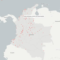
GeoSpatial and GeoStatistical Modelling and Analysis
We provide solutions to our clients who want to use complex statistical techniques to understand their businesses and to make smart decision based on geospatial analytics. Our analysis have been used for Asset Management, Parcel mapping, Land use/ Land cover (LULC) Classification, Change Detection Mapping & Analysis and many more
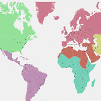
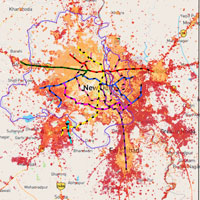
Creating Customized Maps
We can create both 2D and 3D customized maps using information from a variety of sources. These include fold maps, atlas maps, recreation maps, property maps, utility maps etc.
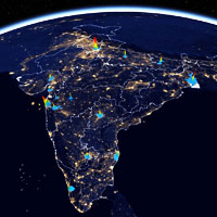
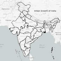
CITY EXPANSION MAPS