MapDataLAB helps you to understand & grow your business more intimately.
What is MapDataLAB?
MapDataLAB is a comprehensive data analytics platform built to help businesses make the most of their spatial or location-based data, which ultimately leads to better decisions, better customers and better business.
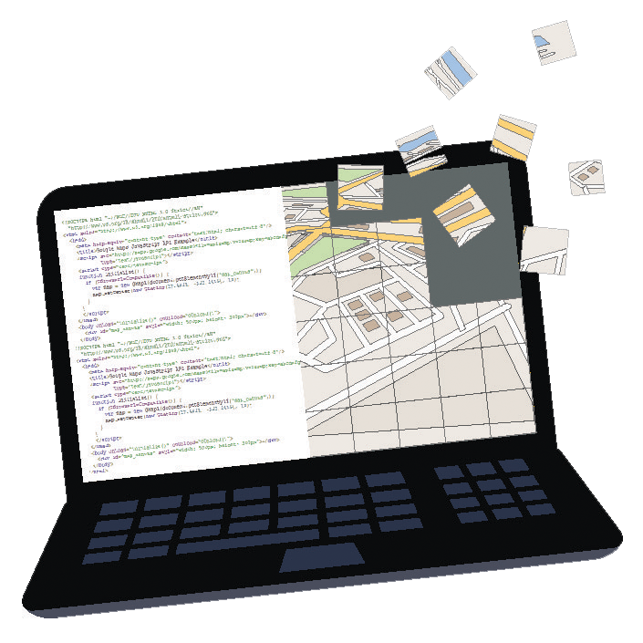
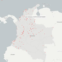
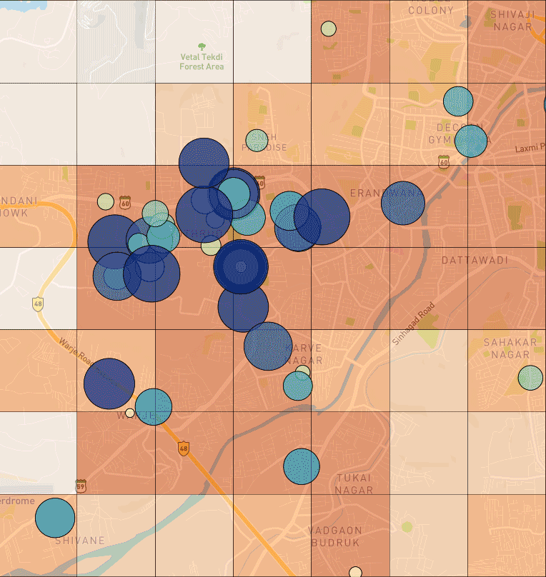
Seamless Data Upload & Visualization
The moment you upload your location-based business data, we make sure it gets arranged on your map beautifully, without a hitch.
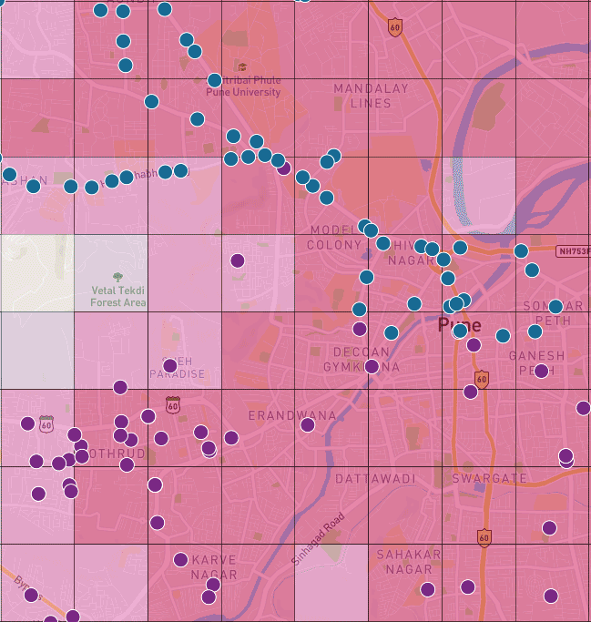
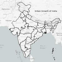
Classify Your Data
Your data shouldn't just be points on a map. It should be depicted in ways that drive insight and decisions. MapDataLAB can make that happen.
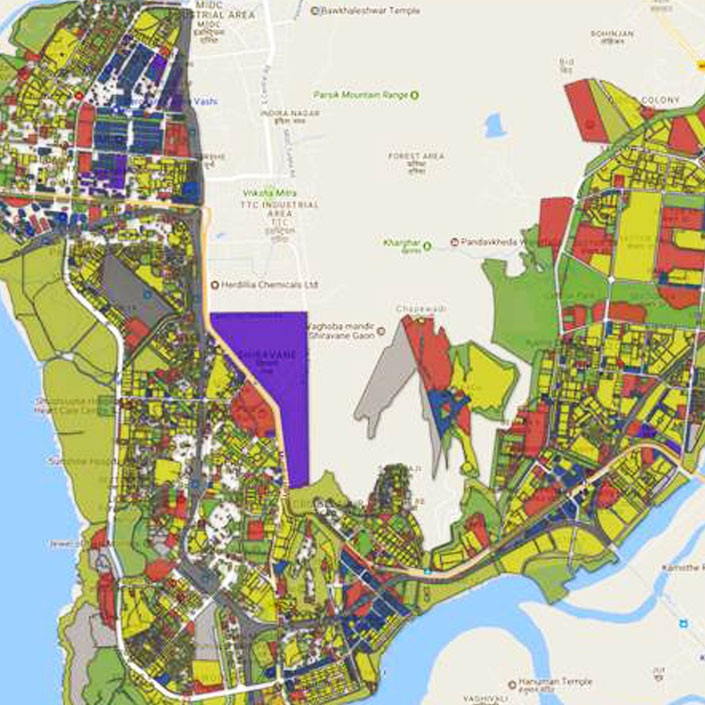
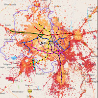
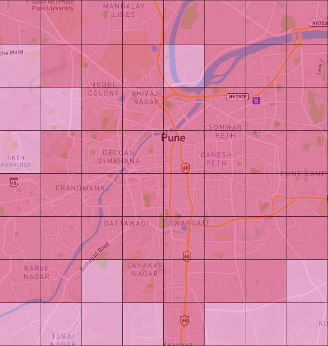
A Hand-Crafted Rich Dataset Library
MapDataLAB is inspired & built by a team of experienced geo-analysts who have curated & created a large quantity of extremely-detailed data layers on aspects including population, infrastructure penetration, urbanization and more.

Geographic Information Systems

We provide GIS intelligence for our clients. Whether it is studying dense urban environments or remote rural locations our analysts are able to find and extract numerous geographic features with high precision and accuracy. We can Digitize, Analyze, Model, Overlay and extract statistics from Geospatial imagery so that our clients can make smart decisions about their businesses.

Application Development

Want to build your own applications using GIS to supercharge your business, we can develop custom applications suitable for you. We specialize in designing, implementing, and integrating GIS applications for small and large enterprises and government organizations. We can either host your application on our servers or provide you with an application that you can host on your own.

Urban Planning

Build master plans of cities, combine information from census, satellite/drone imagery, publicly and privately available information to make informed decisions about city expansion, where to place your business and many more.

UAV Surveys

When satellite imagery is insufficient for our client needs, we have a team of flight engineers and pilots that can go into the field and extract all the required features using our drones. We can get high resolution imagery as well as create high resolution 3D topography of any location accessible via UAVs equipped with high resolution cameras as well as Lidar. We can extract information about building heights, road networks, utility lines using this information. Our proven drone solutions simplify the collection and analysis of geospatial data, allowing professionals in urban planning, agriculture and humanitarian aid to make better decisions, faster.

Contact Us

OUR CLIENTS

next
prev

OUR WORK